
Case studies
Projects carried out by the manufacturers we represent, summarised by us with a link to each original. They show what the equipment we supply does in the field. Figures are as reported by the manufacturer.
Applications
Projects in the field
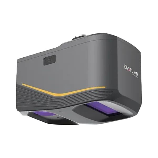
A digital twin of Portugal's largest biofuel plant, scanned in one day with the Apus-MX
SatLab's Apus-MX UAV LiDAR captured the whole of Portugal's largest biofuel plant in a day, giving the operator a high-precision 3D model for maintenance and facility management.
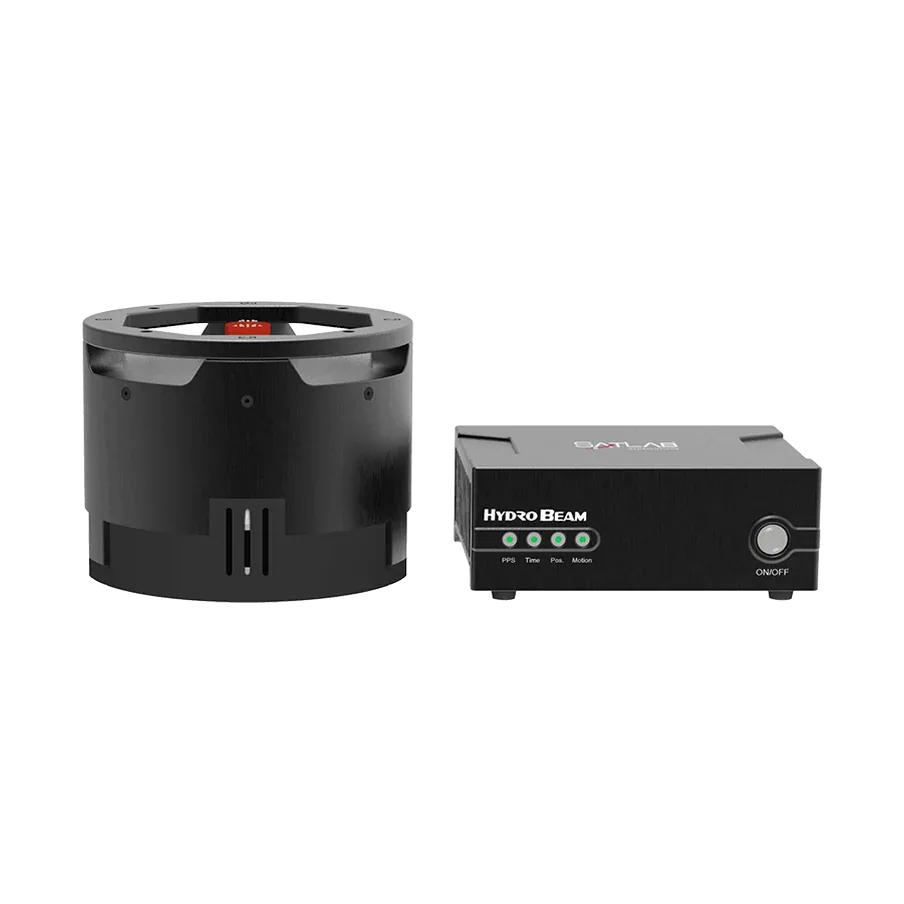
Bathymetry along near-vertical canyon walls with the HydroBeam M4
SatLab Geosolutions surveyed a narrow river that runs through a canyon to a local hydropower plant, using a HydroBeam M4 multibeam echosounder on a small crewed boat.

Calibrating several LiDARs to each other, by hand or automatically
A machine with several LiDARs needs each sensor placed in one common coordinate system. Livox describes a manual method and an open-source automatic method that needs no…
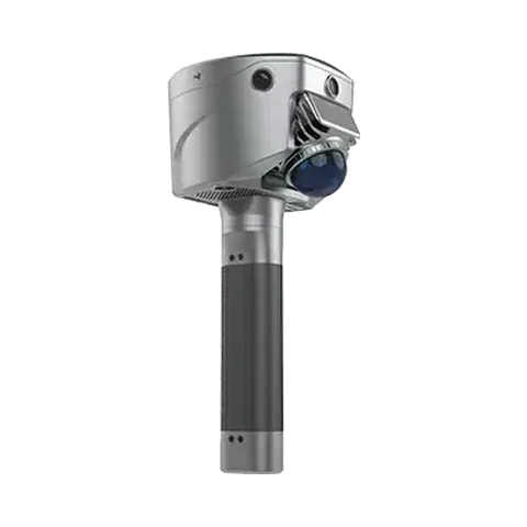
Checking a two-floor factory against its CAD drawing with the SL9 SLAM RTK
SatLab scanned the first and second floors of a large factory with an SL9 SLAM RTK and compared the result with the original CAD drawing, replacing spot measurements with a full…
Debris flow investigation in the mountains near Chengdu with the Apus-MX
After heavy flood-season rain triggered debris flows near Chengdu, SatLab surveyed two mountain areas with an Apus-MX UAV LiDAR on a DJI Matrice 350 RTK drone.
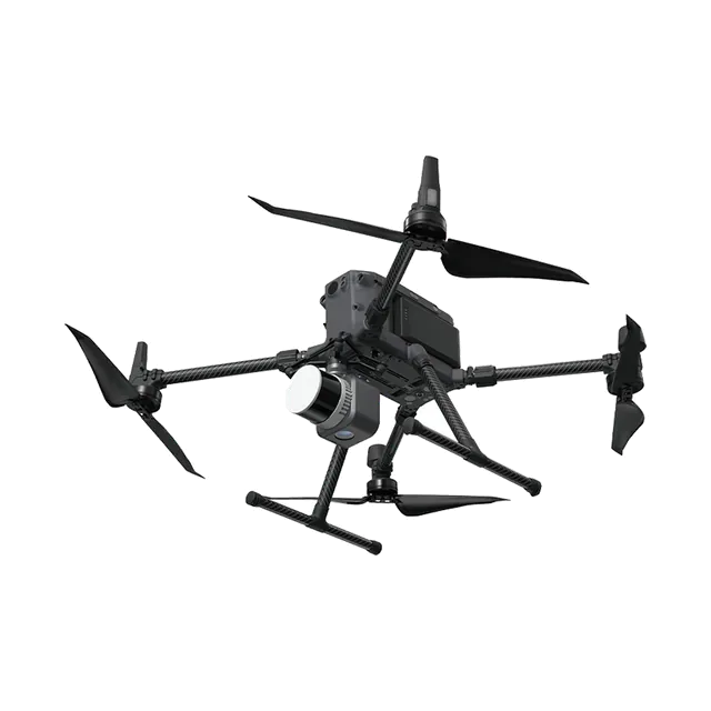
Drone LiDAR survey of a 2.2 km² mine with SatLab Apus
The owner of a mine of about 2.2 km² needed a clear picture of its topography to plan its management. SatLab surveyed it with Apus drone LiDAR and processed the data in Sat-LiDAR.
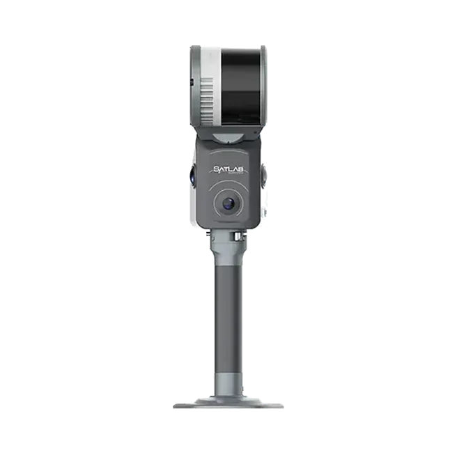
Filling the gaps in airborne data around an expressway with the Cygnus SLAM scanner
Airborne data left holes around an expressway, its bridges and its tunnels. SatLab filled them with Cygnus SLAM scanners carried on a backpack and mounted on a car, and merged…
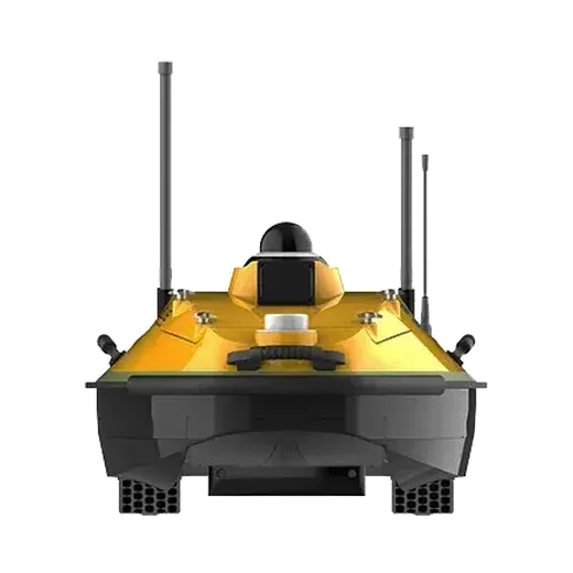
Full-scene bridge inspection with UAV LiDAR and a USV multibeam boat
SatLab Geosolutions combined a drone with an Apus-MX LiDAR and a HydroBoat 1200MB multibeam survey boat to model a major cross-river bridge from the riverbed to the underside of…
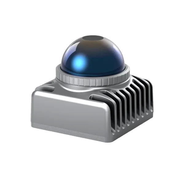
Handheld 3D mapping with a Livox LiDAR at the University of Hong Kong
The Mechatronics and Robotic Systems (MaRS) lab at the University of Hong Kong built a handheld mapping rig around one Livox Mid-40 and released LOAM-Livox, open-source software…

Hikrobot builds its pallet movers in three months with RoboSense Helios 16 and MOV.AI
RoboSense and MOV.AI teamed up so makers of autonomous mobile robots can build and run enterprise-grade machines. Hikrobot used the platform with the Helios 16 LiDAR to develop…
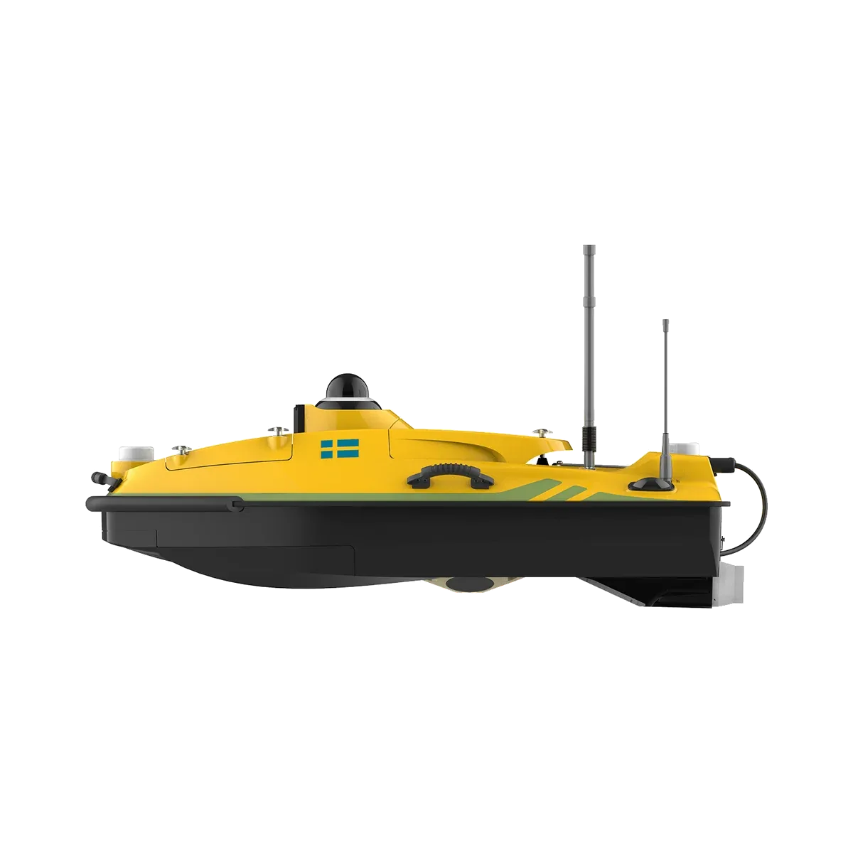
Hydrographic survey in Indonesia with a HydroBoat 1200 and HydroFlow ADCP
In a project in Indonesia, SatLab's HydroBoat 1200 unmanned survey boat carried the HydroFlow 1200 ADCP along pre-planned routes, so operators spent far less time working on the…
LIO-Livox: keeping SLAM stable at highway speed and in tunnels
Some users struggled to use Livox LiDAR for SLAM at high speed. Livox released LIO-Livox, a LiDAR-inertial odometry system, and tested it in a 4 km tunnel and on more than 10 km…
LOAM-Livox: mapping with a Livox Horizon and open-source code
Livox showed how its Horizon LiDAR, whose scan pattern does not repeat from frame to frame, can drive a mapping algorithm in the LOAM family, and released the code as open source.
Livox LiDAR in Gaussian Robotics' service robots
Gaussian Robotics uses Livox Mid-series LiDAR for mapping, positioning, navigation and obstacle avoidance in its cleaning, security and delivery robots.
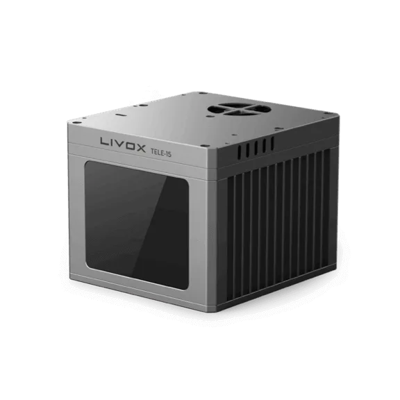
Livox LiDAR on CiDi's autonomous heavy trucks
CiDi, a company building an AI-based logistics system and L4 autonomous heavy trucks, uses Livox Horizon and Tele LiDAR sensors to help its trucks see the road.
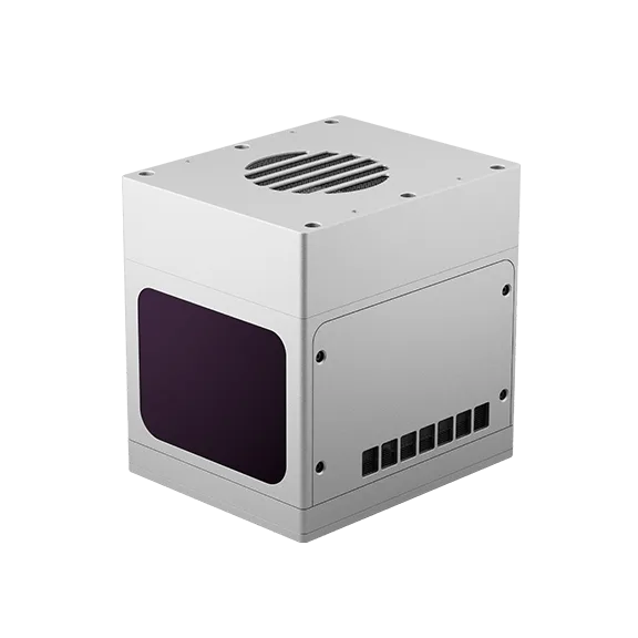
Mapping a 3 km bridge from a drone with a Livox LiDAR
Livox mapped the whole Huizhou Bay Bridge in Guangdong, China, with a Mid-40 LiDAR on a DJI M600 drone, to show what a compact, low-cost LiDAR can do from the air.
Mapping a dark, wet cave in Colombia with the SL9 SLAM RTK
A user carried a SatLab SL9 SLAM RTK through a cave in Suesca, Colombia, with no light, water on the floor and narrow passages, to test whether a handheld scanner could return…
Mapping forest structure from above and below the canopy with UAV LiDAR and a Cygnus backpack scanner
A single LiDAR leaves holes under dense tree cover. SatLab flew a UAV LiDAR and walked a Cygnus backpack scanner through the same forest at the same time, then merged the two…
Multibeam monitoring of a 5,000-hectare land reclamation area with a HydroBoat 1200
SatLab Geosolutions used a HydroBoat 1200 unmanned survey boat with a HydroBeam M2 multibeam echosounder to monitor progress on a land reclamation project of more than 5,000…
Riverbed survey on Japan's Yodo River with a HydroBoat 1200MB
SatLab Geosolutions surveyed a busy stretch of the Yodo River near Hirakata Bridge, Osaka Prefecture, with an unmanned survey boat carrying multibeam and single-beam echosounders.
Scanning a room in 3D with a Livox Mid-40 on a rotating tripod
Livox built a simple stationary scanner from a Mid-40 LiDAR, a motor and a small computer on a tripod, to show what a low-cost sensor can record of an interior.
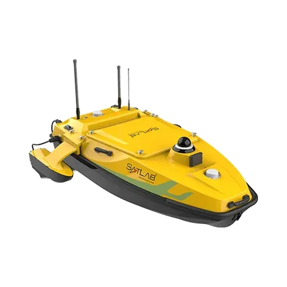
Singlebeam or multibeam? A survey comparison on the Shiqiao Waterway
SatLab surveyed the same stretch of the Shiqiao Waterway twice, once with a singlebeam echosounder on a HydroBoat 1200 and once with a HydroBeam M4 multibeam on a HydroBoat…
Surveying a resort building under dense forest in Bali with the SL9 SLAM RTK
On a steep, wooded site in Bali where trees blocked satellite signals, SatLab scanned a resort building with the SL9 SLAM RTK and extracted its wall lines for design and…
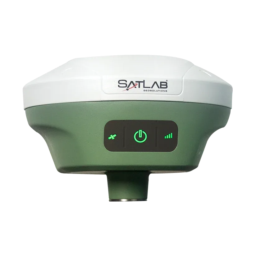
Using the Freyja GNSS receiver as an RTK base station for drone mapping
Where the mobile network is weak, a drone may not get RTK corrections from a CORS service. SatLab shows how to use the Freyja as its own base station and send the corrections to…
Planning a similar project?
Tell us about the site and what you need to measure. We will suggest the equipment and can arrange a demonstration.
Planning a survey, a tender or a new project?
Send us your scope and we will reply with a suitable configuration and a budgetary quote, usually within one working day.