Home › Hydrography & BathymetryHydrographic survey equipment and USVs
Unmanned survey boats, echosounders, current profilers, side-scan sonar and marine GNSS from SatLab Geosolutions. Used for bathymetry, port and harbour surveys, inland waterways, dredging volumes, reservoir sedimentation and dam safety work.
9 models are listed below with their key specifications. Each is supplied with installation, operator training and service support from our Pune office.
Applications
Compare models
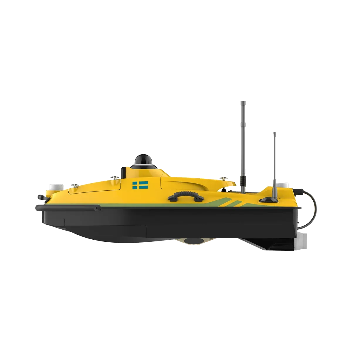
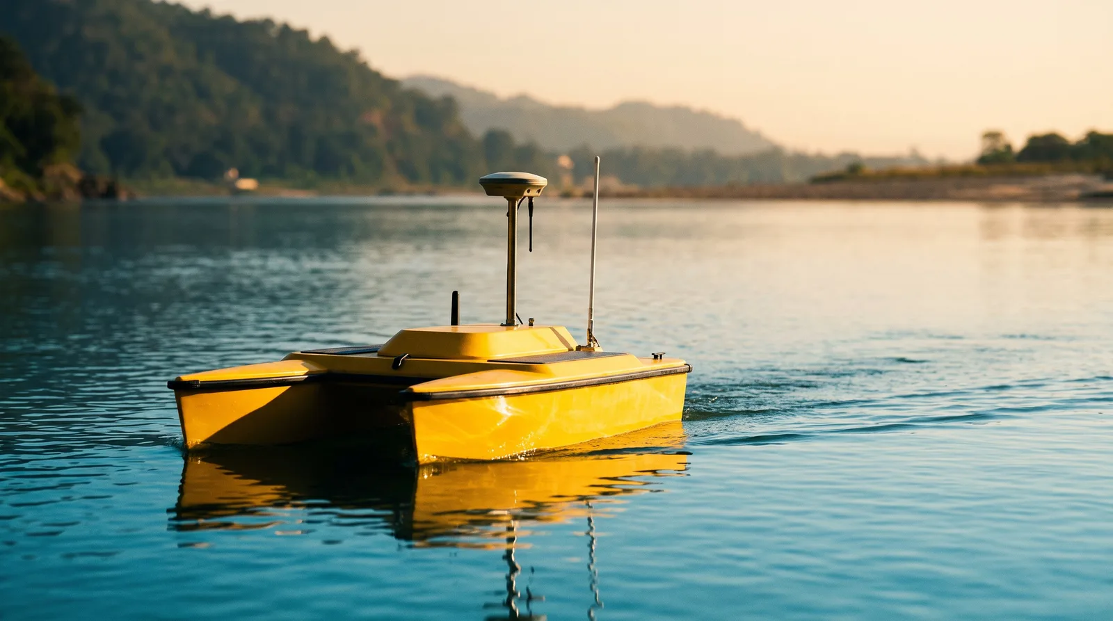
Unmanned survey boat
Portable single-beam USV for ponds, canals, small rivers and reservoirs where a manned boat is impractical.
Depth range 0.15 to 200 m
Weight 20 kg (without battery)
Endurance 5 h per battery at 1.5 m/s
Control range 1.3 km radio / unlimited on 4G
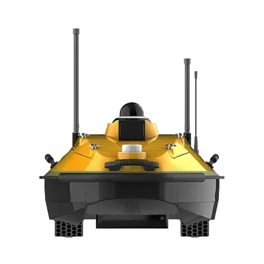
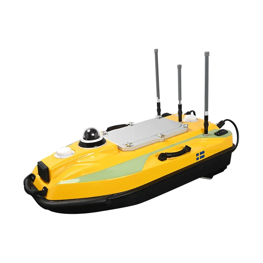
Unmanned survey boat
Mid-size single-beam USV for rivers, lakes and near-shore work, with room for an ADCP, side-scan sonar or water quality probe.
Depth range 0.15 to 200 m
Payload 25 kg
Endurance 4.5 h per battery at 1.5 m/s
Maximum speed 6 m/s
Multibeam USV
HydroBoat 1200 with an integrated 512-beam multibeam sonar for full-coverage mapping of channels, berths and structures.
Sonar 400 kHz multibeam, 512 beams
Swath 30° to 150°
Depth range 0.2 to 200 m
Range per battery 12 km at 1.5 m/s
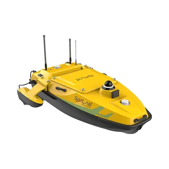
Unmanned survey boat
Four-thruster, multi-payload USV that carries a multibeam, single-beam, ADCP or side-scan sonar for ports, rivers and coastal water.
Payload 60 kg
Sea state Wind level 4, wave level 3
Maximum speed 5.7 m/s
Endurance 4.5 h per 2 batteries (6 supplied)
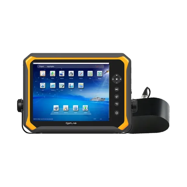
Single-beam echosounder
Dual-frequency single-beam echosounder with a built-in 15-inch display, for survey launches and boats.
Frequencies 200 kHz + 24 kHz (dual channel)
Depth range 0.15 to 300 m (HF), 1 to 1000 m (LF)
Accuracy ±0.01 m ± 0.1% of depth (HF)
Ping rate 50 Hz
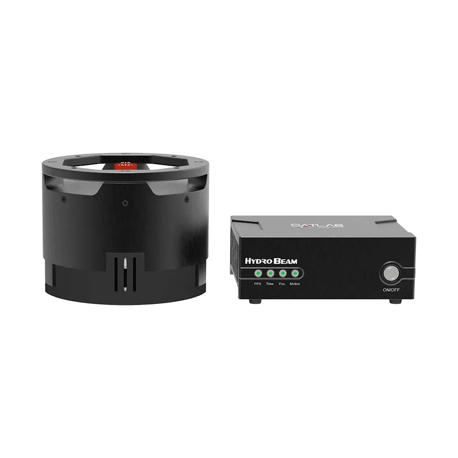
Multibeam echosounder
Compact 400 kHz multibeam with built-in heading, attitude and sound velocity, for USVs and small survey boats.
Beams 512 (up to 1024)
Swath 8° to 150°
Depth range 0.2 to 200 m
Resolution 7.5 mm
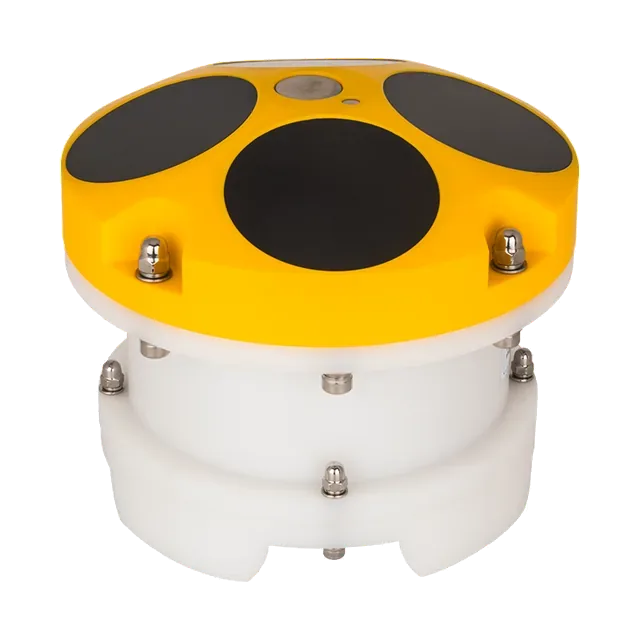
Current profiler
Acoustic Doppler current profiler in 600 kHz and 1200 kHz versions, for river discharge and current measurement.
Frequencies 600 kHz or 1200 kHz
Profiling range Up to 90 m (600) / 40 m (1200)
Velocity accuracy 0.25% ± 0.2 cm/s
Power 3.5 W average
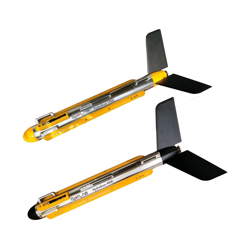
Side-scan sonar
Dual-frequency side-scan sonar for seabed imaging, search, and pipeline or cable route surveys.
Frequencies 100/400, 400/900 or 900 kHz
Maximum range Up to 450 m (100 kHz)
Across-track resolution 1.25 cm
Depth rating Up to 1000 m
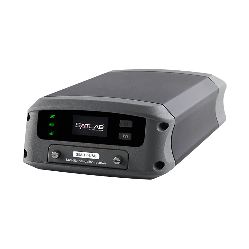
Marine GNSS
Dual-antenna marine GNSS receiver for RTK positioning and heading on survey vessels and USVs.
Heading accuracy 0.05° at 4 m baseline
RTK accuracy H ±8 mm + 1 ppm
Update rate 20 Hz
Power 6 to 28 V DC, 4.5 W
Specifications are from the manufacturer's published datasheets and may change. Ask us for the current datasheet before ordering.

 Unmanned survey boat