
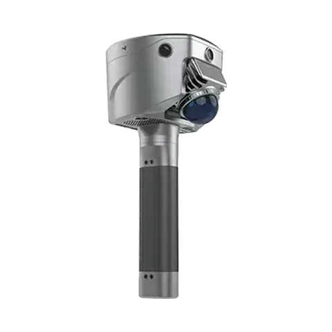
Mapping a dark, wet cave in Colombia with the SL9 SLAM RTK
A user carried a SatLab SL9 SLAM RTK through a cave in Suesca, Colombia, with no light, water on the floor and narrow passages, to test whether a handheld scanner could return usable 3D data there.
At a glance
The challenge
There is no natural or artificial light inside the cave. The rock is humid, there is water and flooded ground after recent rain, and the passages are narrow and low with complex rock walls. The cave is reached by a hike of about two hours with several climbs and descents.
What was done
- The user walked the passage and scanned it by hand with the SL9 SLAM RTK.
- A helmet headlamp gave some extra light, which allowed the point cloud to be coloured in parts of the cave.
- The field data was processed into a point cloud, shown as an overview, a section, a height-coloured view and an intensity section.
Results
- The user described the point cloud as homogeneous and consistent, with a high level of detail.
- The scanner kept a stable trajectory for the whole walk, with no drift or processing problems reported.
- SatLab publishes no accuracy, coverage or passage-length figures for this survey.
Equipment
SatLab SL9 SLAM RTK handheld scanner, with a helmet headlamp as auxiliary light. We supply and support the SL9 SLAM RTK in India, with training and service from Pune.
About this case study
This project was carried out and published by SatLab Geosolutions, whose products we represent in India. Ecoleap Solutions wrote this summary; figures are as reported by the manufacturer.
Planning a survey, a tender or a new project?
Send us your scope and we will reply with a suitable configuration and a budgetary quote, usually within one working day.