
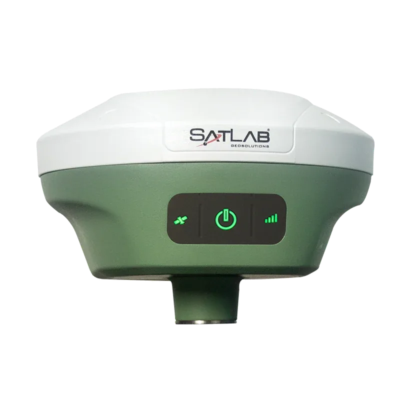
Using the Freyja GNSS receiver as an RTK base station for drone mapping
Where the mobile network is weak, a drone may not get RTK corrections from a CORS service. SatLab shows how to use the Freyja as its own base station and send the corrections to the drone controller.
Results in figures
- Run time as a reference station
- More than 10 hours
- Source: SatLab case study
- Weight
- 770 g
- Source: SatLab case study
The challenge
Drone work needs precise positioning. Connecting the drone to a network RTK (CORS) service is less convenient and less reliable where the mobile signal is weak, and a longer distance from the base reduces RTK accuracy.
What was done
- Set up the Freyja on a tripod at a known control point, or record a new control point through a CORS connection.
- In the Satsurv app, set the Freyja as a base station in data-collector internet mode, so it sends corrections to the handheld over Bluetooth.
- Let Satsurv pass the corrections on over the local network.
- If Satsurv runs on a separate Android device, turn on its hotspot and connect the drone controller to it, so the controller receives the corrections over NTRIP as it would from a CORS service.
- Fly the drone with the real-time corrections.
Results
- SatLab publishes no accuracy figures or before-and-after comparison for this workflow.
- It states that the Freyja can run for more than 10 hours as a reference station, thanks to its power management and large battery, and weighs 770 g.
Equipment
SatLab Freyja GNSS receiver as the base station, the Satsurv app on an Android device, a drone and a tripod. We supply and support the Freyja in India.
About this case study
This workflow was published by SatLab Geosolutions, whose products we represent in India. Ecoleap Solutions wrote this summary; figures are as reported by the manufacturer.
Planning a survey, a tender or a new project?
Send us your scope and we will reply with a suitable configuration and a budgetary quote, usually within one working day.