
Mapping a 3 km bridge from a drone with a Livox LiDAR
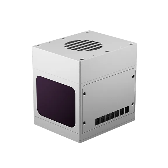
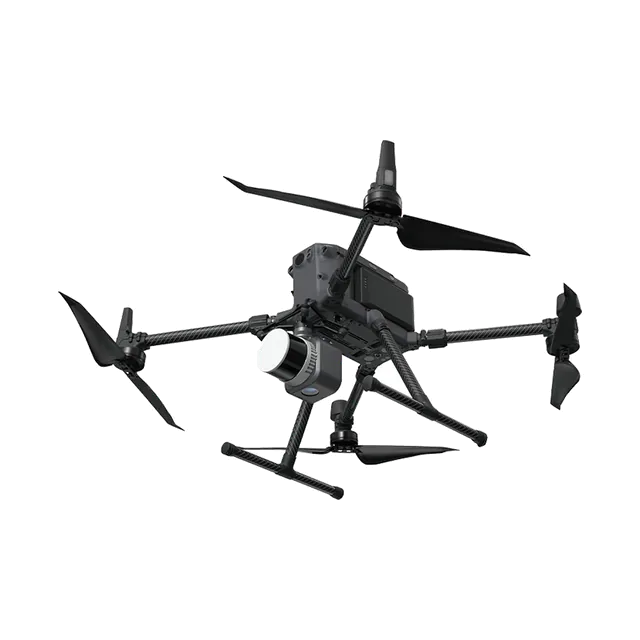
Livox mapped the whole Huizhou Bay Bridge in Guangdong, China, with a Mid-40 LiDAR on a DJI M600 drone, to show what a compact, low-cost LiDAR can do from the air.
At a glance
The challenge
Aerial LiDAR mapping has usually needed large, expensive sensors. The aim was to capture a long structure, including thin features such as stay cables, with a small and affordable LiDAR.
What was done
- The Mid-40 was mounted rigidly with a GNSS-INS unit and RTK for centimetre-level positioning.
- A small on-board computer recorded the LiDAR and position data.
- The drone flew about 50 m from the bridge.
- In processing, every point was placed in real-world coordinates using the position and orientation from the INS.
Results
- The stay cables came out clearly separated, and road markings were visible in the point cloud.
- Data collection took about half a day; processing took under 30 minutes.
- Livox notes that a higher-grade INS or SLAM-based processing would improve accuracy further.
Equipment
The Mid-40 used here is an older model. For drone mapping today, look at the Livox Avia and Avia 2, or SatLab's complete Apus drone LiDAR systems.
About this case study
This project was carried out and published by Livox (April 2019). We supply Livox sensors in India. Ecoleap Solutions wrote this summary; figures are as reported by the manufacturer.
Planning a survey, a tender or a new project?
Send us your scope and we will reply with a suitable configuration and a budgetary quote, usually within one working day.