
Handheld 3D mapping with a Livox LiDAR at the University of Hong Kong
The Mechatronics and Robotic Systems (MaRS) lab at the University of Hong Kong built a handheld mapping rig around one Livox Mid-40 and released LOAM-Livox, open-source software that turns a walk into a 3D map.
At a glance
The challenge
Mobile mapping systems usually combine several sensors (LiDAR, IMU, GPS and cameras) and need heavy processing. The lab wanted real-time mapping from a single, low-cost LiDAR.
What was done
- The rig was one Mid-40, a laptop and a battery on a 3D-printed frame, with no IMU, GPS or camera.
- LOAM-Livox works out how the rig moves by matching each scan with the last, corrects the distortion that movement causes, and filters out moving objects.
- The software is published as open source on GitHub.
Results
- Mapping ran in real time, 20 times a second, on the laptop.
- The lab mapped a building at HKU and the whole HKUST campus. Livox reports that fine detail is visible; no accuracy figures were published.
Equipment
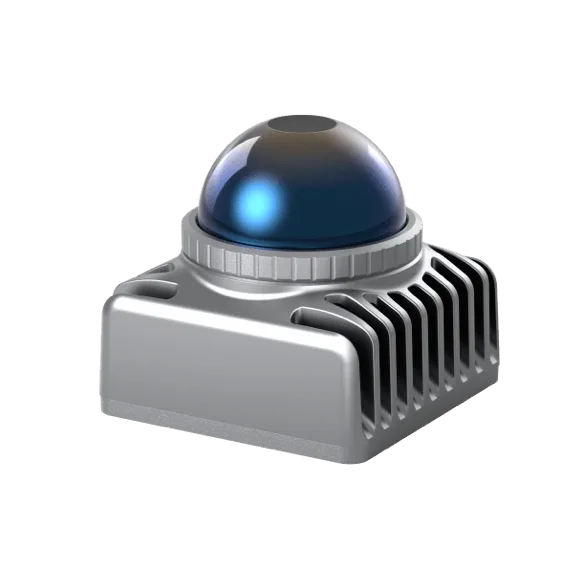
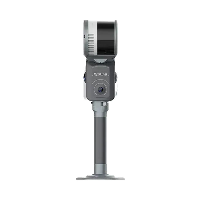
For handheld and robot mapping today, the Livox Mid-360S and Mid-360L are the current compact choices. For survey-grade handheld scanning with a ready-made workflow, see SatLab's Cygnus SLAM scanners.
About this case study
This work was done by the MaRS lab at the University of Hong Kong and published by Livox (July 2019). We supply Livox sensors in India. Ecoleap Solutions wrote this summary; figures are as reported by the manufacturer.
Planning a survey, a tender or a new project?
Send us your scope and we will reply with a suitable configuration and a budgetary quote, usually within one working day.