Monday to Friday, 9 am to 6 pm IST · Pune, Maharashtra, India
Get a Quote

SLAM Scanners and Drone LiDAR in India

Ecoleap Solutions supplies SatLab handheld SLAM scanners and drone LiDAR in India for survey-grade point clouds. Walk a site with the Cygnus range or fly the Apus range on a drone, with selection advice, installation, operator training and service support from our Pune office.

On foot

Handheld SLAM scanners

Turn a walk through a site into a coloured, georeferenced point cloud.

Cygnus Lite Handheld SLAM scanner

Cygnus Lite

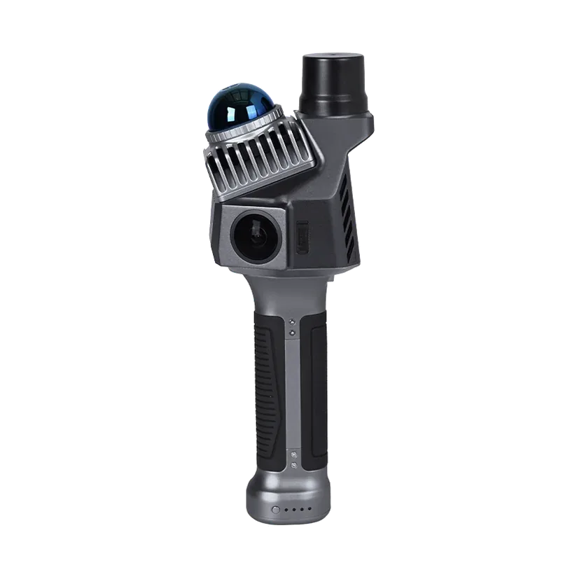
1 kg handheld SLAM scanner with built-in RTK and two 12 MP cameras, for coloured, georeferenced point clouds.

Point rate
200,000 pts/s
Range
0.1 to 70 m (80% reflectivity)
Accuracy
±2.5 cm indoor; RTK 0.8 cm + 1 ppm H
Weight
1.0 kg with battery
From the air

Drone LiDAR systems

Map larger areas from a drone with integrated LiDAR, GNSS/INS and a camera.

Apus-MX Drone LiDAR

Apus-MX

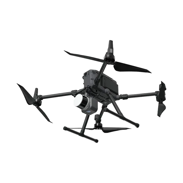
Long-range drone LiDAR with a 45 MP full-frame camera, 5 cm system accuracy at 300 m, for DJI Matrice drones.

System accuracy
5 cm H / 5 cm V at 300 m
Range
1200 m at 60% reflectivity
Camera
45 MP full frame
Weight
1.55 kg
Apus Drone LiDAR

Apus

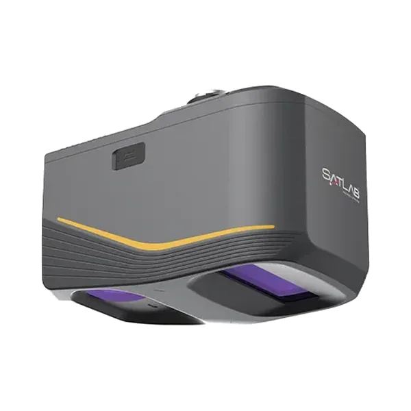
Compact, lightweight drone LiDAR with GNSS/INS and an industrial camera, for shorter-range mapping jobs.

Weight
About 1 kg
Positioning
GNSS-aided INS
Camera
Industrial-grade RGB
Software
SatLiDAR
Selection

SLAM scanner or drone LiDAR?

Choose by how the site must be reached and how large it is. A handheld scanner suits places you can walk through, while drone LiDAR suits larger areas that are better covered from above.

  • Cygnus Lite: 1 kg handheld SLAM scanner with built-in RTK and two 12 MP cameras, for coloured, georeferenced point clouds.
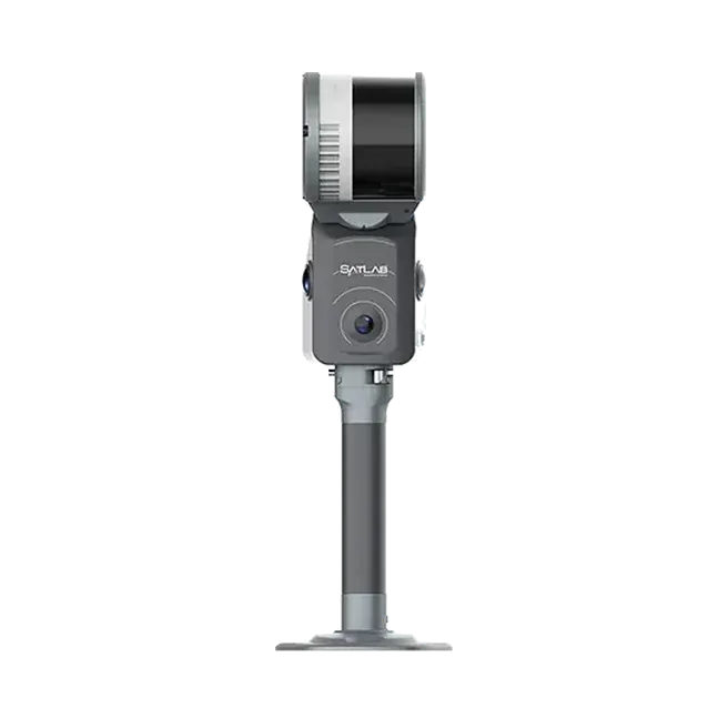
  • Cygnus 3 / Cygnus 3 Pro: long-range handheld SLAM scanner, 16 or 32 channels, up to 640,000 pts/s and 300 m range, with RTK-SLAM.
  • Apus-MX: long-range drone LiDAR with a 45 MP full-frame camera and 5 cm system accuracy at 300 m, for DJI Matrice drones.
  • Apus: compact, lightweight drone LiDAR with GNSS/INS and an industrial camera, for shorter-range mapping jobs.

See the differences side by side: handheld SLAM scanners and drone LiDAR. For robots and mapping rigs, see our LiDAR sensors.

Supply and support

Buying through Ecoleap

We represent SatLab Geosolutions in India and stay with the project after delivery.

  • Selection advice based on your site and deliverables
  • Technical compliance sheets, OEM letters and datasheets for government and PSU tenders
  • Installation, commissioning and operator training at your site
  • Spares and service support from our Pune office

Send your site details and deliverables through the contact page for a demo or quotation.

Planning a survey, a tender or a new project?

Send us your scope and we will reply with a suitable configuration and a budgetary quote, usually within one working day.

WhatsApp

Cookie preferences

Choose which cookies we may use. You can change this at any time from "Cookie settings" at the bottom of every page. Read the cookie policy.

Strictly necessary

Remember your cookie choice and keep the site secure. These cannot be switched off.

Always on

Optional

Google Analytics counts visits and shows which pages are used, so we can improve the site. IP addresses are shortened and nothing is used for advertising. Stored for up to 2 years.

Advertising and marketing

This site does not use advertising, marketing or social media tracking cookies.

Not used