
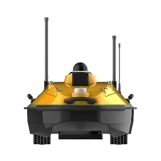
Riverbed survey on Japan's Yodo River with a HydroBoat 1200MB
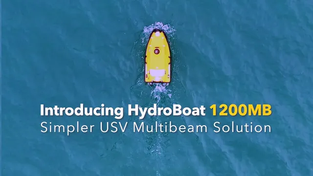
SatLab Geosolutions surveyed a busy stretch of the Yodo River near Hirakata Bridge, Osaka Prefecture, with an unmanned survey boat carrying multibeam and single-beam echosounders.
The challenge
This part of the river carries regular boat traffic and dredging work, and bridge pillars restrict access. A crewed boat or a single-beam survey would have been slow, put people at risk close to the structures and left gaps in the data around the pillars.
What was done
- The HydroBoat 1200MB carried SatLab's HydroBeam multibeam and single-beam echosounders and ran the survey lines on its own, with obstacle avoidance near the pillars.
- Survey lines were planned from base maps the client supplied (DXF and KML).
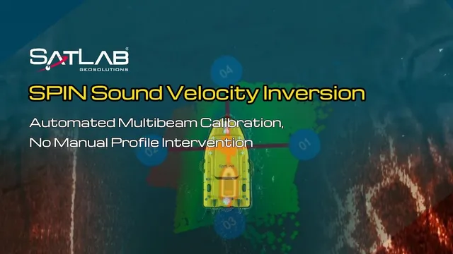
- SatLab's SPIN method (sound speed profile inversion) removed the need for separate sound velocity casts.
- SLHydroBeam software showed depth grids live and filtered noise, so coverage and quality were checked on site.
Results
- A detailed 3D model of the riverbed that shows bridge pillars, pipe supports and scour around the structures.
- SatLab reports that the data met IHO Special Order accuracy, with more than 99% of depth points within tolerance.
Equipment
We supply and support the HydroBoat 1200MB in India, with installation, operator training and service from Pune.
Related case studies
About this case study
This project was carried out and published by SatLab Geosolutions, whose products we represent in India. Ecoleap Solutions wrote this summary; figures are as reported by the manufacturer.
Planning a survey, a tender or a new project?
Send us your scope and we will reply with a suitable configuration and a budgetary quote, usually within one working day.