
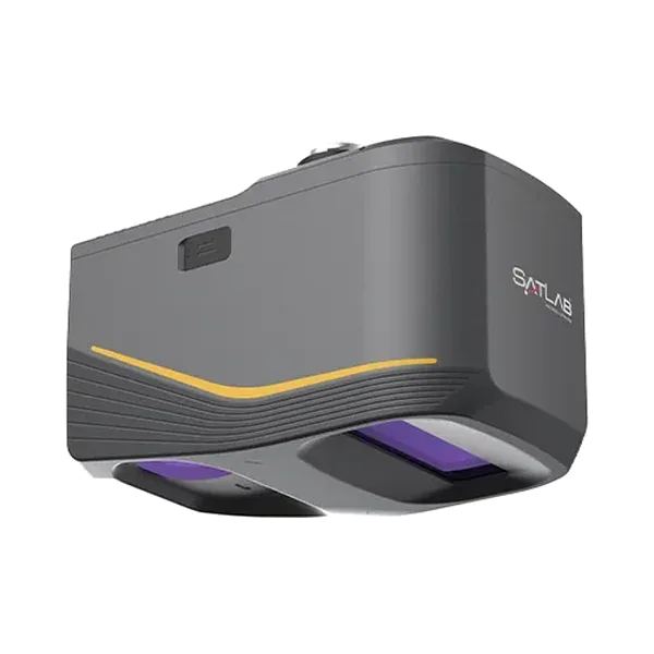
Debris flow investigation in the mountains near Chengdu with the Apus-MX
After heavy flood-season rain triggered debris flows near Chengdu, SatLab surveyed two mountain areas with an Apus-MX UAV LiDAR on a DJI Matrice 350 RTK drone.
At a glance
Results in figures
- Average point density
- 127 points per m²
- Source: SatLab case study
- Point cloud accuracy
- Better than 2 cm
- Source: SatLab case study
- Survey areas
- 0.5 km² and 0.35 km²
- Source: SatLab case study
The challenge
The take-off points were nearly 1,000 m below the highest point of the survey area, so a multi-rotor drone carrying a LiDAR had to climb at least 1,000 m in one flight. The area is covered by dense, multi-layered forest and the terrain could disturb data transmission.
What was done
- The team used a flight strategy that follows the ground closely, and covered the two areas (0.5 km² at 1,400 to 2,300 m and 0.35 km² at 1,150 to 1,450 m) in three flight missions.
- Sat-LiDAR turned the data into high-precision colour point clouds.
- Ground points were separated by filtering and used to produce a DEM, a DSM and contour lines. The software can also calculate volumes between survey dates.
Results
- Average point density of 127 points per m², with accuracy better than 2 cm.
- Ground points under the vegetation were continuous and dense.
- SatLab states that the system can measure up to 1,200 m at 60% reflectivity at a pulse rate of 550,000 shots per second.
Equipment
SatLab Apus-MX UAV LiDAR on a DJI Matrice 350 RTK, an RTK CORS network and Sat-LiDAR software. We supply and support the Apus-MX in India, with training and service from Pune.
About this case study
This project was carried out and published by SatLab Geosolutions, whose products we represent in India. Ecoleap Solutions wrote this summary; figures are as reported by the manufacturer.
Planning a survey, a tender or a new project?
Send us your scope and we will reply with a suitable configuration and a budgetary quote, usually within one working day.