
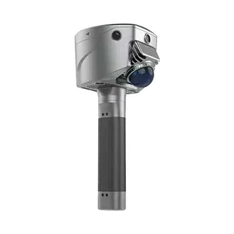
Surveying a resort building under dense forest in Bali with the SL9 SLAM RTK
On a steep, wooded site in Bali where trees blocked satellite signals, SatLab scanned a resort building with the SL9 SLAM RTK and extracted its wall lines for design and renovation work.
At a glance
The challenge
Dense vegetation and steep ground blocked satellite signals and line of sight, so ordinary RTK was unreliable. A total station is accurate but slow to set up and move on slopes. The client also needed accurate wall lines, a clear picture of the structure and smooth surfaces in the point cloud.
What was done
- The building, built but not yet finished, was scanned with the SL9 SLAM RTK, which combines SLAM laser scanning with RTK positioning. The operator did not have to follow a strict path and started the scan with one touch.
- The RTK module kept indoor and outdoor data in a single spatial reference.
- Wall lines and structural boundaries were extracted by slicing the point cloud in SAT-LiDAR software and exported to CAD.
Results
- The point cloud shows walls, columns and structural elements clearly, with smooth surfaces and little noise.
- The building perimeter, floor area and volume can be calculated quickly from the point cloud.
- SatLab publishes no accuracy, area or volume figures for this survey.
Equipment
SatLab SL9 SLAM RTK and SAT-LiDAR software. We supply and support the SL9 SLAM RTK in India, with training and service from Pune.
About this case study
This project was carried out and published by SatLab Geosolutions, whose products we represent in India. Ecoleap Solutions wrote this summary; figures are as reported by the manufacturer.
Planning a survey, a tender or a new project?
Send us your scope and we will reply with a suitable configuration and a budgetary quote, usually within one working day.