
Full-scene bridge inspection with UAV LiDAR and a USV multibeam boat
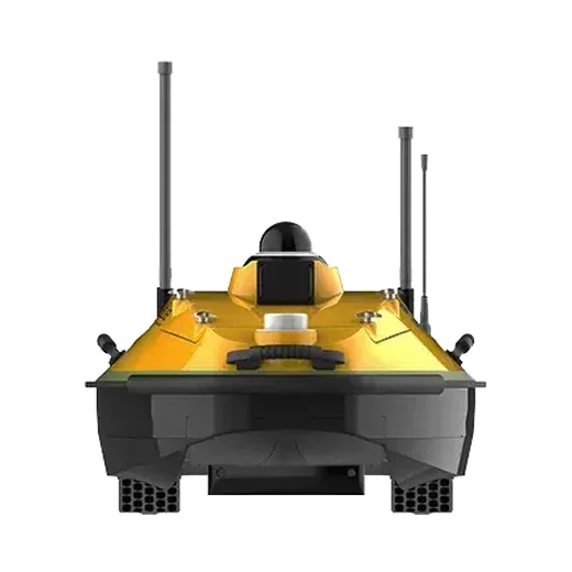
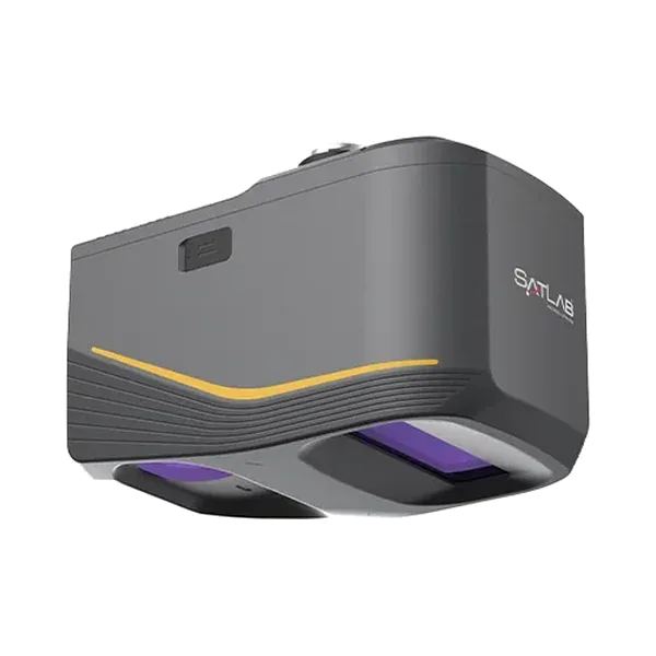
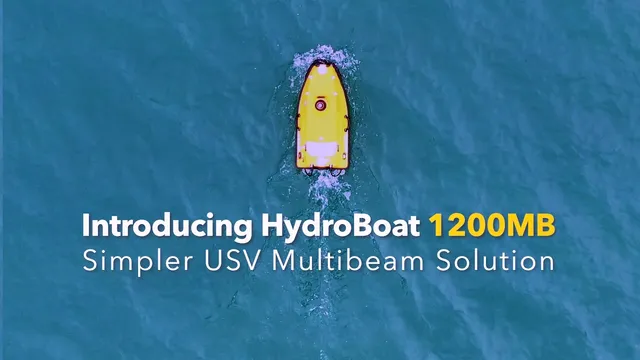
SatLab Geosolutions combined a drone with an Apus-MX LiDAR and a HydroBoat 1200MB multibeam survey boat to model a major cross-river bridge from the riverbed to the underside of the deck.
The challenge
The site has submerged pier foundations, narrow channels, shallow wetlands and high structures. Divers and crewed boats are limited by current, murky water and tight spaces around the piers, and inspecting at height or underwater by hand is risky. Data from above and below the water rarely joins up, which makes a complete 3D model hard to build.
What was done
- Boat routes and drone flight paths were planned from the design drawings and terrain, with control points and coordinate systems matched.
- The boat ran sonar lines along the pier axes while the drone flew cross-hatch LiDAR passes over the deck and underside.
- Coverage and overlap were checked live and against control points.
- Multibeam data was corrected for motion and tide, filtered and gridded. LiDAR data was strip-adjusted, intensity-calibrated and finely registered. The two were fused into one model from superstructure to substructure.
Results
- A 3D digital twin with layers for scour depth, pier geometry, crack distribution and clearance profiles.
- SatLab says inspection time and people's exposure to hazards are reduced, but it publishes no figures for this project.
Equipment
HydroBoat 1200MB with a HydroBeam M2 multibeam echosounder, an Apus-MX UAV LiDAR on a DJI M350 RTK drone, and SLHydroBeam Processing software. We supply and support the HydroBoat 1200MB and Apus-MX in India.
About this case study
This project was carried out and published by SatLab Geosolutions, whose products we represent in India. Ecoleap Solutions wrote this summary; figures are as reported by the manufacturer.
Planning a survey, a tender or a new project?
Send us your scope and we will reply with a suitable configuration and a budgetary quote, usually within one working day.