
Filling the gaps in airborne data around an expressway with the Cygnus SLAM scanner
Airborne data left holes around an expressway, its bridges and its tunnels. SatLab filled them with Cygnus SLAM scanners carried on a backpack and mounted on a car, and merged everything into one model.

The challenge
Aerial methods such as photogrammetry and airborne LiDAR cannot capture a city in full: objects block the view and leave holes in the data. Permission to fly can also be hard to get in some areas.
What was done
- Ground SLAM scanning added to the airborne laser scanning (ALS) data that already existed for the expressway.
- For the bridge, the method was first tested and validated. A Cygnus backpack system with RTK then covered the overpass and the space beneath it, including the piers.
- A car-mounted Cygnus kit covered the roads and tunnels, driven there and back to close the trajectory loop.
- RTK gave absolute coordinates, with control points set in case the GNSS signal was lost. The car, backpack and airborne data were merged into one coordinate system and exported as .las files.
Results
- The merged data keeps the bridge and its surroundings intact and avoids data gaps as far as possible.
- SatLab publishes no accuracy, point count or area figures for this project.
Equipment
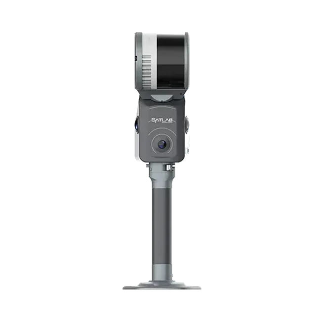
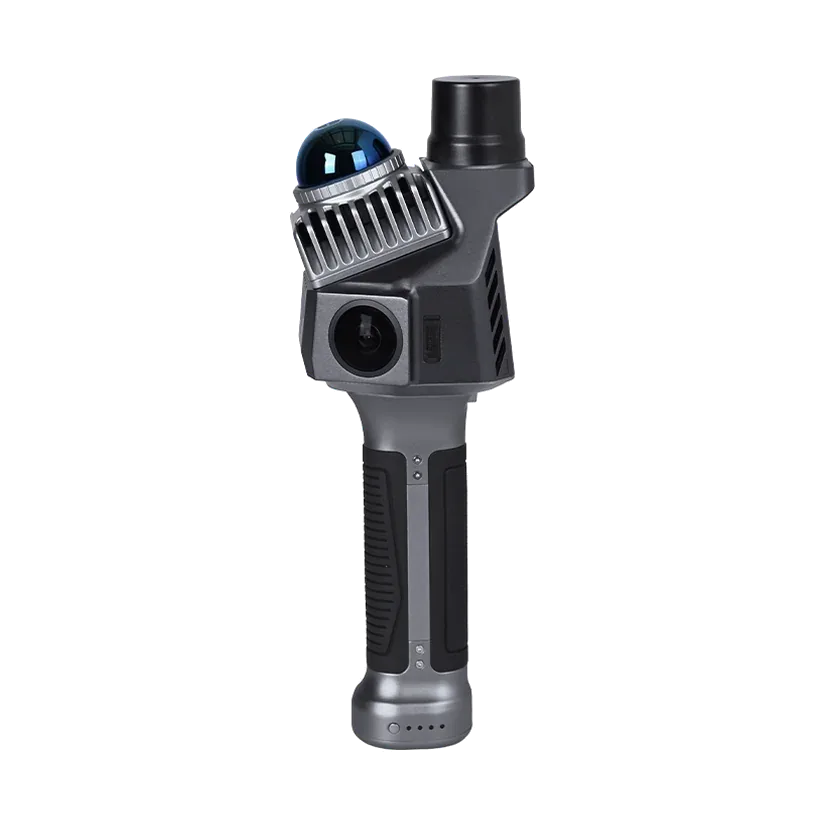
Cygnus SLAM scanner as a backpack system with RTK and as a car kit, the Cygnus SLAM Manager app, and the existing ALS point cloud. The Cygnus models we supply today are the Cygnus 3 and the Cygnus Lite.
About this case study
This project was carried out and published by SatLab Geosolutions, whose products we represent in India. Ecoleap Solutions wrote this summary; figures are as reported by the manufacturer.
Planning a survey, a tender or a new project?
Send us your scope and we will reply with a suitable configuration and a budgetary quote, usually within one working day.