
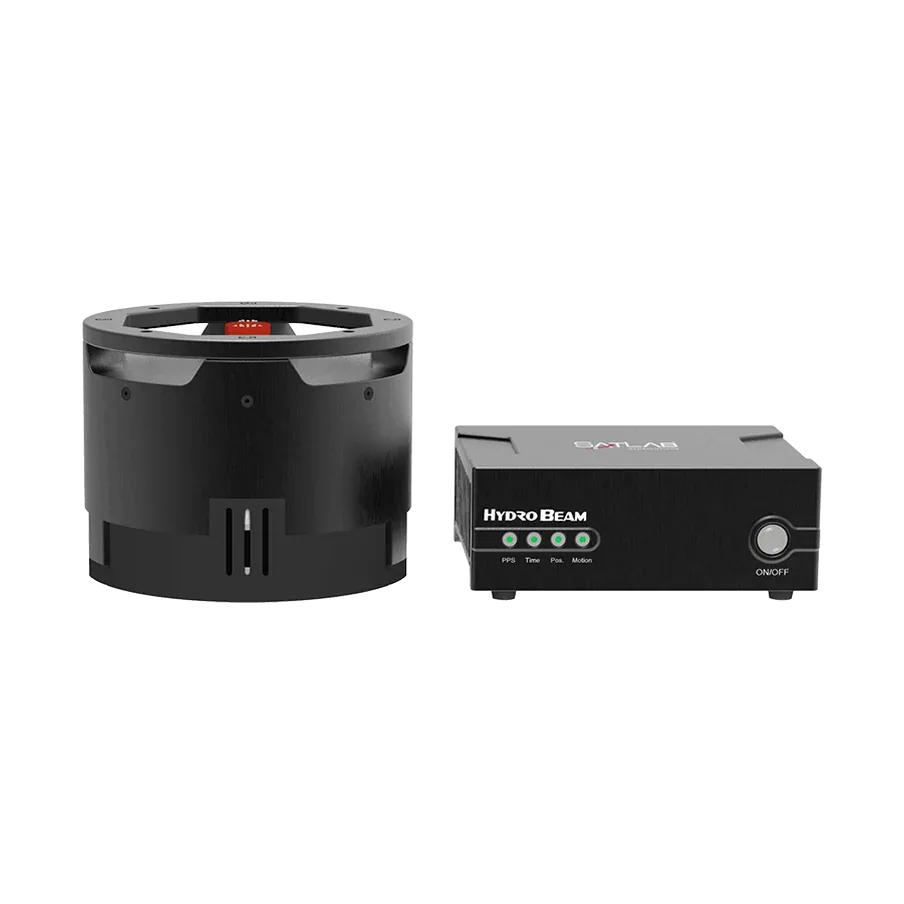
Bathymetry along near-vertical canyon walls with the HydroBeam M4
SatLab Geosolutions surveyed a narrow river that runs through a canyon to a local hydropower plant, using a HydroBeam M4 multibeam echosounder on a small crewed boat.
Results in figures
- Swath
- 150°
- Source: SatLab case study (system specification)
- Beams
- 1,024
- Source: SatLab case study (system specification)
The challenge
Some sections are narrower than 20 m, and the near-vertical rock walls distort the beams and give unreliable echoes. Depths vary from about 1 to 20 m, and repeated reflections can make the data noisy. SatLab notes that traditional tools struggle to measure reliably along walls like these.
What was done
- Parallel survey lines were planned with at least 30% overlap, and calibration measurements were taken at key points in the terrain.
- The survey ran from a small crewed vessel, with sound velocity profiles measured at several locations.
- HydroBeam Monitor adjusted the system settings automatically, and SLHydro Survey showed the data live.
- In post-processing, GNSS, IMU and multibeam data were merged with the calibration values and stray depth points were removed.
Results
- The outputs were high-resolution 3D underwater point clouds, contour maps and cross-section profiles with full coverage of the canyon.
- SatLab publishes no accuracy or error figures for this survey.
Equipment
HydroBeam M4 multibeam echosounder with integrated GNSS, IMU and sound velocity sensor, HydroBeam Monitor and SLHydro Survey software. We supply and support the HydroBeam M4 in India, with installation, training and service from Pune.
About this case study
This project was carried out and published by SatLab Geosolutions, whose products we represent in India. Ecoleap Solutions wrote this summary; figures are as reported by the manufacturer.
Planning a survey, a tender or a new project?
Send us your scope and we will reply with a suitable configuration and a budgetary quote, usually within one working day.