
Mapping forest structure from above and below the canopy with UAV LiDAR and a Cygnus backpack scanner
A single LiDAR leaves holes under dense tree cover. SatLab flew a UAV LiDAR and walked a Cygnus backpack scanner through the same forest at the same time, then merged the two point clouds.

Results in figures
- UAV LiDAR density
- 508.79 points per m²
- Source: SatLab case study
- Backpack SLAM density
- About 2,539.59 points pe
- Source: SatLab case study
- Merged density
- 4,701.48 points per m²
- Source: SatLab case study
The challenge
In dense, complex forest a single LiDAR platform gives low accuracy and incomplete data. The local network signal was weak, and tree cover kept the RTK from fixing at times.
What was done
- The UAV LiDAR flew for about 11 minutes while the backpack scanner worked the same area in two scans totalling 30 minutes, one of them a repeat. An external radio shared a base station between the two systems.
- The backpack followed a snake-shaped path around the trees with no more than 10 m between scan lines, and scans were repeated while RTK was fixed to strengthen the trajectory.
- The two point clouds were merged, cut into blocks, resampled and denoised. Ground was classified, a DEM was made and the cloud was normalised.
- Single trees were segmented, with some errors corrected by hand, and species, position, height, trunk diameter and tree structure were extracted.
Results
- The UAV LiDAR alone gave 508.79 points per m² and missed data below the canopy. The backpack scanner gave about 2,539.59 points per m². The merged cloud reached 4,701.48 points per m² and shows the complete structure of the trees.
- SatLab says the approach gives high-precision vertical forest structure and more accurate, cheaper extraction of single-tree measurements, but publishes no accuracy figures.
Equipment
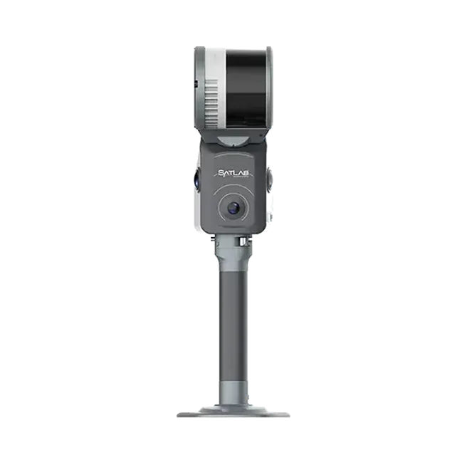
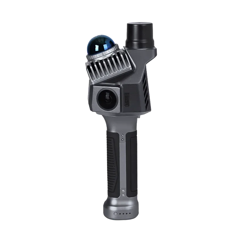
SatLab S1 UAV LiDAR, a Cygnus backpack SLAM system with RTK, SatLiDAR software and an external radio. The Cygnus models we supply today are the Cygnus 3 and the Cygnus Lite.
About this case study
This project was carried out and published by SatLab Geosolutions, whose products we represent in India. Ecoleap Solutions wrote this summary; figures are as reported by the manufacturer.
Planning a survey, a tender or a new project?
Send us your scope and we will reply with a suitable configuration and a budgetary quote, usually within one working day.