
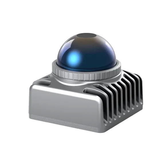
 LiDAR sensor
Livox Mid-360S
Updated Mid-360 with the same 360° × 59° view, 0.1 m blind zone and 200,000 pts/s, plus a 100 m cut-off range.
- Range
- 40 m at 10% reflectivity
- Field of view
- 360° × 59°
- Point rate
- 200,000 pts/s
- Weight
- 265 g
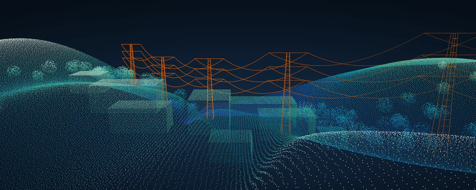
LiDAR sensors from Livox and RoboSense for robots, vehicles and smart infrastructure, plus SatLab SLAM scanners and drone LiDAR for survey-grade 3D capture. We help you choose, supply and support the integration.
18 models are listed below with their key specifications. Each is supplied with installation, operator training and service support from our Pune office.

Compact 360° sensors for robots and mapping rigs, plus forward-looking long-range models. Livox sensors use 905 nm lasers (1535 nm on Avia 2) and come with an open SDK and ROS drivers.
LiDAR sensor
Updated Mid-360 with the same 360° × 59° view, 0.1 m blind zone and 200,000 pts/s, plus a 100 m cut-off range.
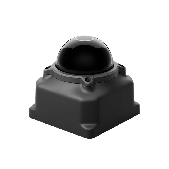 LiDAR sensor
Lower-cost 360° LiDAR, 245 g and 4.2 W, with 45 m range at 10% reflectivity and 100,000 pts/s for robots and AGVs.
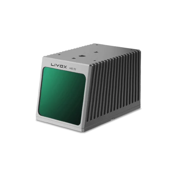 LiDAR sensor
70.4° circular-view LiDAR with 90 m range at 10% reflectivity and a small blind zone, for mapping rigs and robots.
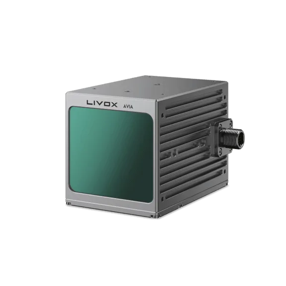 LiDAR sensor
Lightweight 498 g LiDAR with 190 m range at 10% reflectivity and triple returns, widely used for drone mapping.
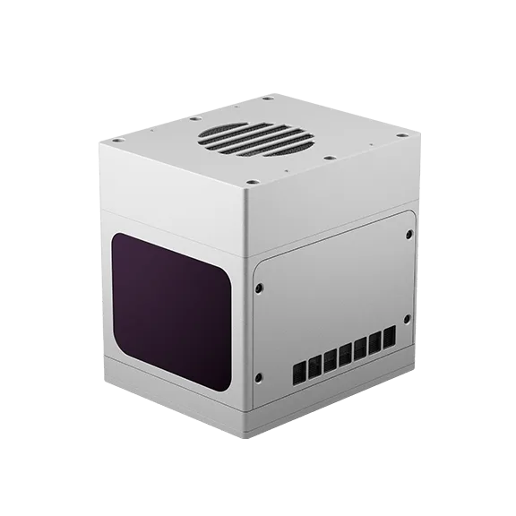 Long-range LiDAR sensor
1535 nm long-range LiDAR: 80° × 80° view out to 400 m, or a 15° focus mode reaching 800 m at 10% reflectivity.
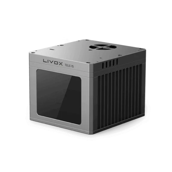 Long-range LiDAR sensor
Narrow 14.5° × 16.2° telephoto LiDAR reaching 320 m at 10% and 500 m at 50% reflectivity, rated −40 to +85 °C.

Digital LiDAR for robots: 360° and hemispherical sensors, fully solid-state units with no moving parts, a 3D safety LiDAR and Active Cameras that combine LiDAR, RGB and an IMU.
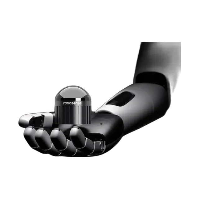 LiDAR sensor
Hemispherical 360° × 90° LiDAR with up to 192 beams and 1.72 million pts/s, for robots and close-range mapping.
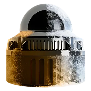 LiDAR sensor
Ultra-compact 360° × 45° digital LiDAR, about 200 g with a 20 mm window, 60 m range and 1 cm precision, for robots.
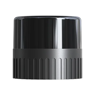 LiDAR sensor
Mid-range 360° × 32° digital LiDAR with 0.5 cm precision, 150 m range and about 1.37 million pts/s, under 350 g.
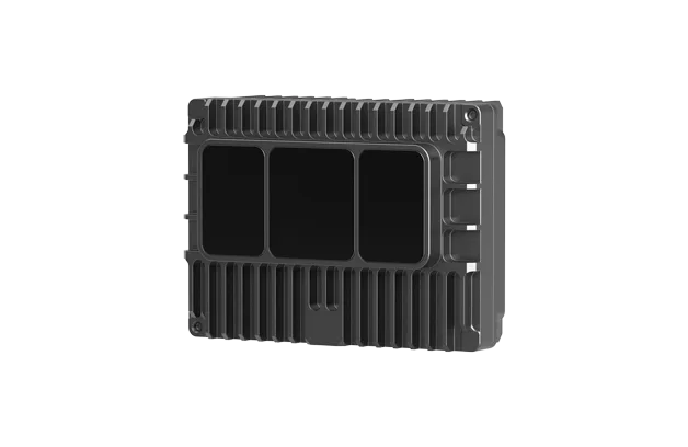 Solid-state LiDAR
Fully solid-state LiDAR for robots: 120° × 90° view, 30 m at 10% reflectivity (75 m maximum), 260,000 pts/s.
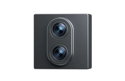 Solid-state LiDAR
Second-generation solid-state LiDAR: up to 180° × 135° view, 1 cm precision, 1.5 million pts/s and ≤ 5 W typical.
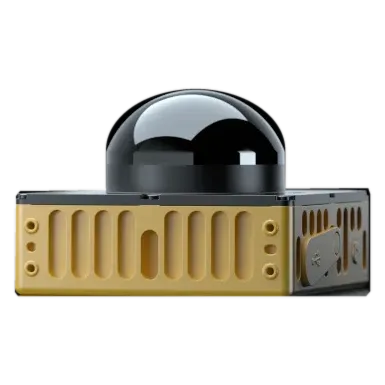 3D safety LiDAR
 designed to PL d, SIL 2 and Type 3, giving 3D protective fields plus a point cloud for navigation.
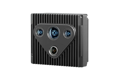 Active Camera (LiDAR + RGB + IMU)
Active Camera combining solid-state LiDAR depth, an RGB camera and an IMU in one synchronised unit, 70 m range.
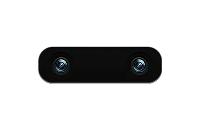 Active Camera (LiDAR + stereo RGB + IMU)
Active Camera for robot manipulation: solid-state dToF LiDAR, stereo RGB and IMU, ±5 mm precision from 0.05 to 8 m.

Complete survey systems from SatLab: handheld SLAM scanners and drone LiDAR with georeferencing and processing software, for as-built, mining, forestry and corridor mapping.
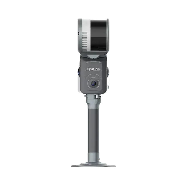
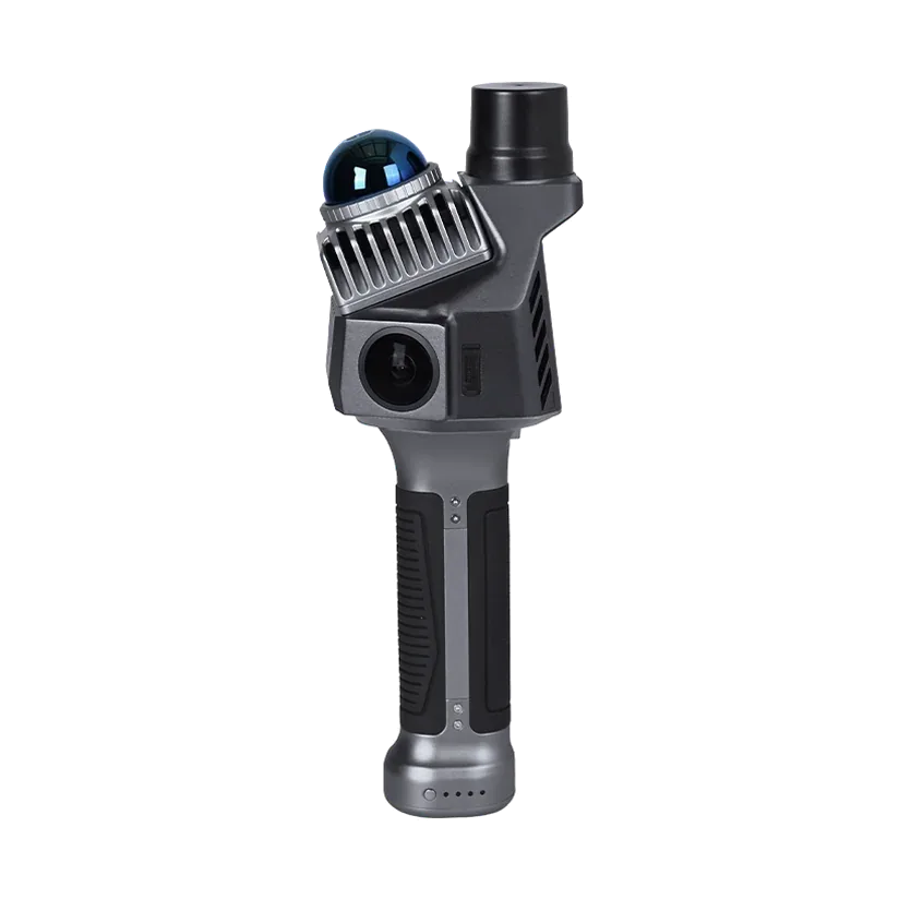 Handheld SLAM scanner
1 kg handheld SLAM scanner with built-in RTK and two 12 MP cameras, for coloured, georeferenced point clouds.
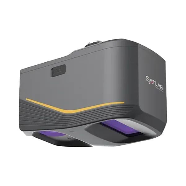
 Handheld SLAM scanner
Long-range handheld SLAM scanner, 16 or 32 channels, up to 640,000 pts/s and 300 m range, with RTK-SLAM.
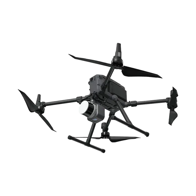
 Drone LiDAR
Long-range drone LiDAR with a 45 MP full-frame camera, 5 cm system accuracy at 300 m, for DJI Matrice drones.
 Drone LiDAR
Compact, lightweight drone LiDAR with GNSS/INS and an industrial camera, for shorter-range mapping jobs.
Specifications are from the manufacturer's published datasheets and may change. Ask us for the current datasheet before ordering.
Send us your scope and we will reply with a suitable configuration and a budgetary quote, usually within one working day.