Overview
Cygnus 3 is the heavier-duty handheld scanner, for large sites, mines, tunnels and plants where range matters. The Pro version doubles the LiDAR channels to 32 and reaches 300 m. RTK-SLAM and PPK-SLAM modes tie the scan to survey control, and an accuracy heat map shows weak areas before you leave site. It can also be mounted on a drone via SkyPort.
Key features
- 16 channels (Cygnus 3) or 32 channels (Pro)
- Up to 640,000 pts/s and 300 m range (Pro)
- SLAM, RTK-SLAM and PPK-SLAM modes
- 2 × 48 MP + 1 × 5 MP cameras
- Accuracy heat map and resume scanning
- Up to 180 min per battery, 512 GB SSD
Technical specifications
Source: SatLab Geosolutions published specifications. Figures can change between product versions; we confirm them in every quotation.
Scanning
| Versions | Cygnus 3 / Cygnus 3 Pro |
|---|
| LiDAR channels | 16 / 32 |
|---|
| Point rate | 320,000 / 640,000 pts/s |
|---|
| Range | Up to 120 m / up to 300 m |
|---|
| Field of view | 360° × 280° |
|---|
| Relative accuracy | 1 cm |
|---|
| Point cloud thickness | 1 cm |
|---|
| Absolute accuracy | Up to 4 cm / up to 2 cm |
|---|
Mapping and cameras
| Modes | SLAM, RTK-SLAM, PPK-SLAM |
|---|
| Real-time processing | Yes, with live point cloud preview |
|---|
| Accuracy heat map | Yes |
|---|
| Cameras | 2 × 48 MP + 1 × 5 MP |
|---|
| Camera field of view | 190° × 190° (48 MP); 135° × 100° (5 MP) |
|---|
| RTK protocol | NTRIP |
|---|
Physical
| Weight | 1.98 kg / 1.68 kg |
|---|
| Battery | 70 Wh, up to 180 min |
|---|
| Storage | 512 GB SSD |
|---|
| Protection | IP54 |
|---|
| Operating temperature | −20 to +55 °C |
|---|
| Interfaces | USB-C, SkyPort, GNSS |
|---|
Source: manufacturer's published datasheet. Values are measured under the manufacturer's test conditions and may change without notice.

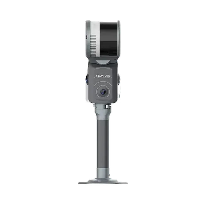
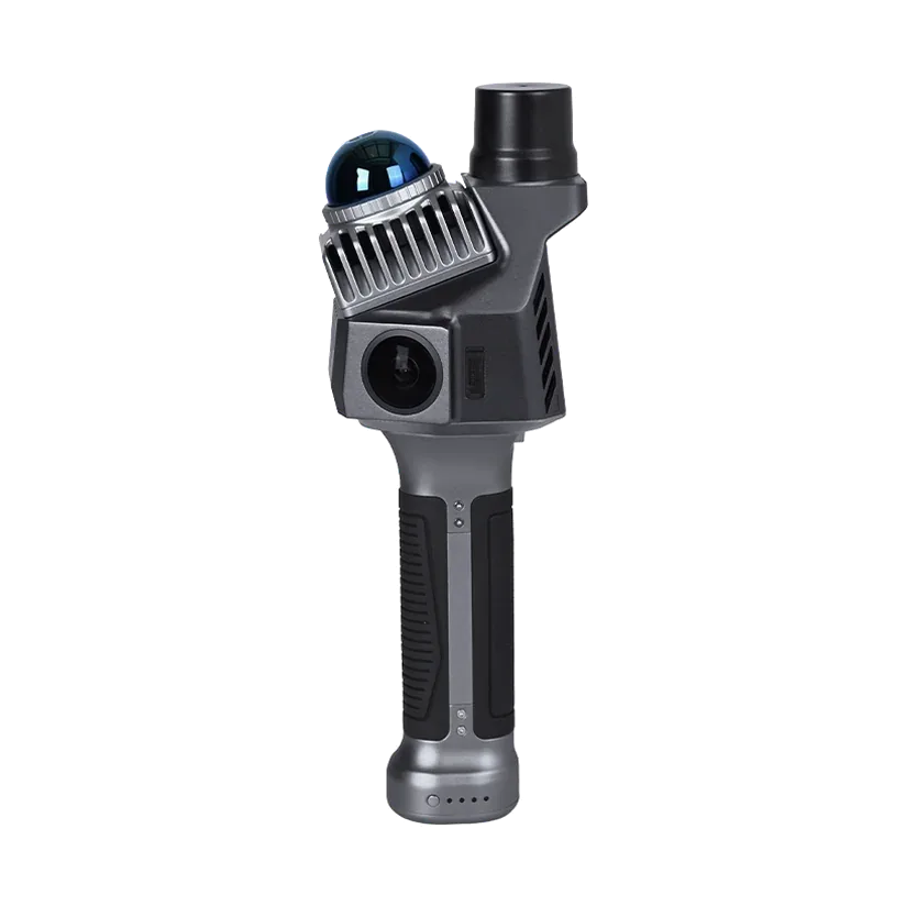 Handheld SLAM scanner