
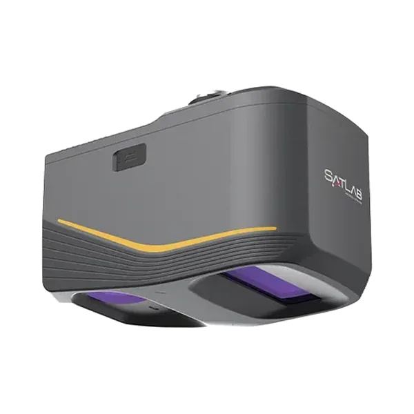
 Drone LiDAR
Apus-MX
Long-range drone LiDAR with a 45 MP full-frame camera, 5 cm system accuracy at 300 m, for DJI Matrice drones.
- System accuracy
- 5 cm H / 5 cm V at 300 m
- Range
- 1200 m at 60% reflectivity
- Camera
- 45 MP full frame
- Weight
- 1.55 kg
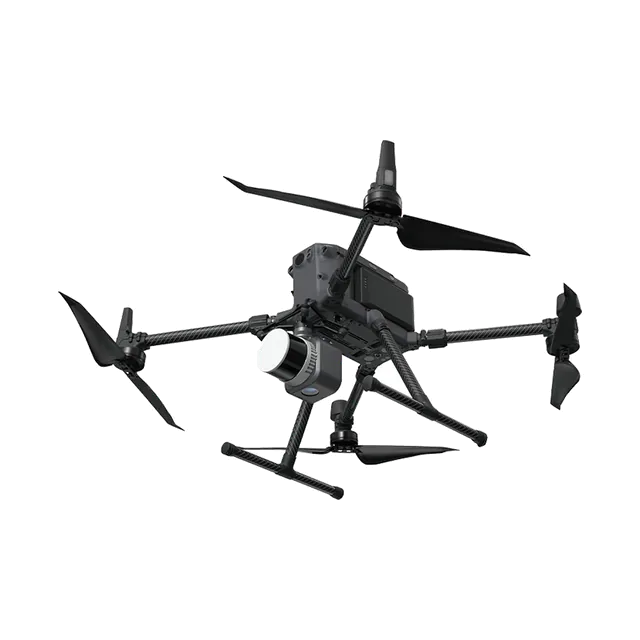
Compact, lightweight drone LiDAR with GNSS/INS and an industrial camera, for shorter-range mapping jobs.
Supplied in India by Ecoleap Solutions with installation, training and after-sales support. Specifications below are from the manufacturer's published data.
| Weight | About 1 kg |
|---|---|
| Positioning | GNSS-aided INS |
| Camera | Industrial-grade RGB |
| Software | SatLiDAR |
Apus is the lighter, earlier drone LiDAR in the range, at about 1 kg. It combines a laser scanner, an industrial-grade camera and a GNSS-aided inertial system, with one-button start, automatic route planning and SatLiDAR software for trajectory processing, strip adjustment and colouring. Ask us for the current datasheet and whether Apus or Apus-MX suits your flying height.
Source: SatLab Geosolutions published specifications. Figures can change between product versions; we confirm them in every quotation.
| Weight | About 1 kg |
|---|---|
| Positioning | High-precision GNSS-aided inertial navigation |
| Camera | Industrial-grade RGB |
| Storage | Dual storage for backup |
| Operation | One-button start, automatic route planning, live quality monitoring |
| Software | SatLiDAR: trajectory, fusion, strip adjustment, colouring |
| Full datasheet | Available on request |
Source: manufacturer's published datasheet. Values are measured under the manufacturer's test conditions and may change without notice.
Drone LiDAR
Long-range drone LiDAR with a 45 MP full-frame camera, 5 cm system accuracy at 300 m, for DJI Matrice drones.
Send us your scope and we will reply with a suitable configuration and a budgetary quote, usually within one working day.