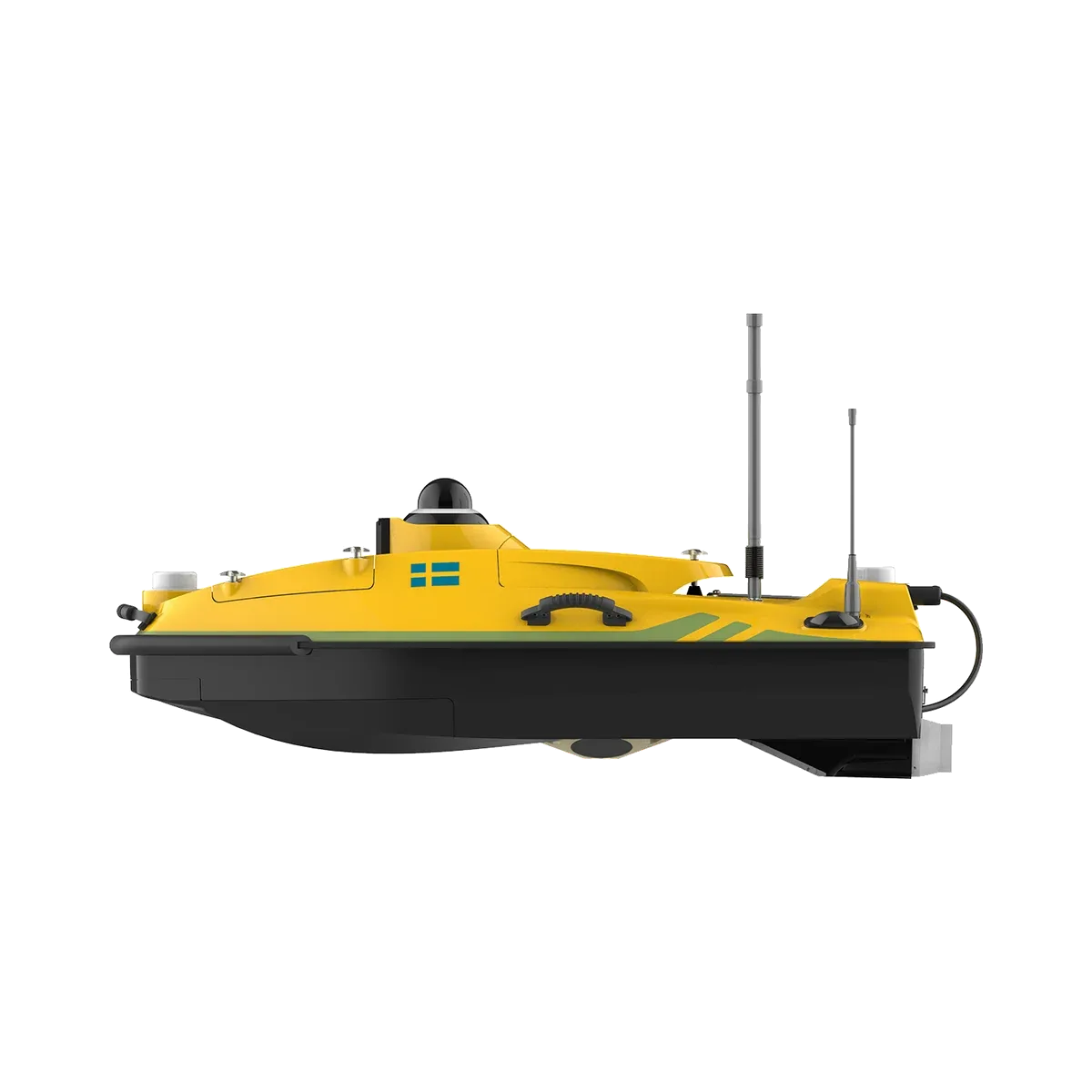
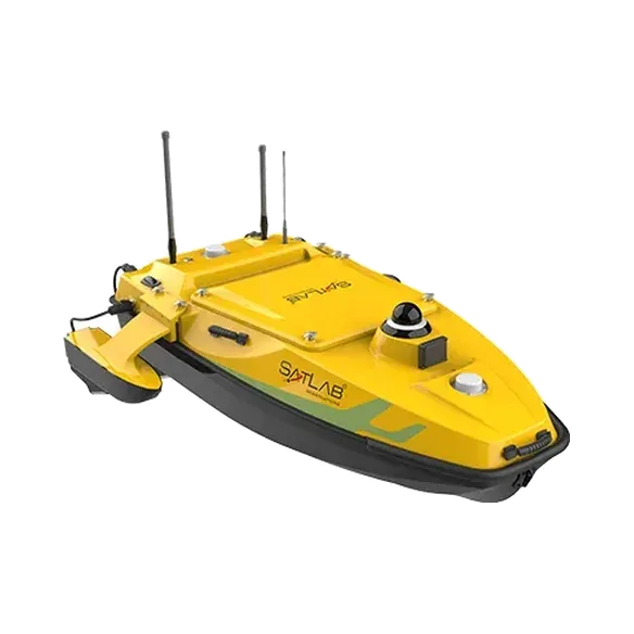
Overview
The 1200MB pairs the HydroBoat 1200 hull with an all-in-one multibeam unit: transducer, deck electronics, IMU and GNSS in one housing. It maps a full swath of the bed instead of a single line of points, which suits channel maintenance, berth surveys, intake structures and dam faces. Sound velocity inversion removes the need for a separate SVP cast on most jobs.
Key features
- Integrated multibeam: 400 kHz, 512 beams, 30° to 150° swath
- Depth range 0.2 to 200 m, 1 cm vertical resolution
- Heading 0.08° (2 m baseline), roll and pitch 0.03°
- Sound velocity inversion, so no SVP cast needed on most jobs
- Auto return on low battery, auto reverse in shallow water, obstacle avoidance
- Manual, autopilot and auto-return modes
Technical specifications
Source: SatLab Geosolutions published specifications. Figures can change between product versions; we confirm them in every quotation.
Boat
| Hull (L × W × H) | 1185 × 593 × 397 mm |
|---|
| Working weight | 33 kg including battery and sensors |
|---|
| Material | Carbon fibre |
|---|
| Wind and wave | Wind level 3, wave level 2 |
|---|
| Waterproofing | IP67 |
|---|
| Propulsion | 2 × 1000 W brushless DC |
|---|
| Maximum speed | 5 m/s |
|---|
| Battery endurance | 12 km per battery at 1.5 m/s, 2 batteries supplied |
|---|
| Safety | Auto return on low battery, auto reverse in shallow water, obstacle avoidance |
|---|
Multibeam sonar
| Type | Transducer, deck unit, IMU and GNSS in one unit |
|---|
| Frequency | 400 kHz |
|---|
| Depth range | 0.2 to 200 m |
|---|
| Swath | 30° to 150° |
|---|
| Beam angle | 1.4° × 1.7° |
|---|
| Number of beams | 512 |
|---|
| Vertical resolution | 1 cm |
|---|
| Ping rate | 60 Hz |
|---|
| Roll stabilisation | 10° |
|---|
| Sonar weight | 1.7 kg (in air) |
|---|
| Sonar size | 169 × 166 × 50 mm |
|---|
Positioning and motion
| Constellations | GPS, BDS, GLONASS, Galileo, QZSS, SBAS, L-Band |
|---|
| Position accuracy | H ±8 mm + 1 ppm, V ±20 mm + 1 ppm |
|---|
| Heading accuracy | 0.08° (2 m baseline) |
|---|
| Roll and pitch | 0.03° |
|---|
| Heave | 5 cm or 5% of range |
|---|
| Boat-control IMU | 1 m in 30 s, ≤ 2.1°/h |
|---|
Control
| Control range | 1.3 km on 2.4 GHz, unlimited on 4G |
|---|
| Correction sources | Radio, network, controller, PPP |
|---|
| Navigation modes | Manual, autopilot, auto-return |
|---|
| Camera | 360° omnidirectional video |
|---|
| Anti-collision sensor | 10 to 30 m detection |
|---|
Source: manufacturer's published datasheet. Values are measured under the manufacturer's test conditions and may change without notice.

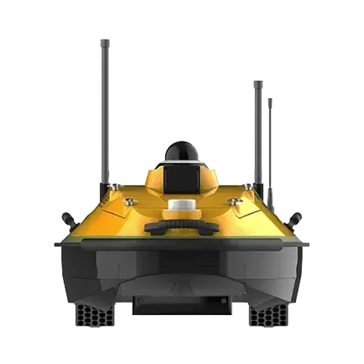
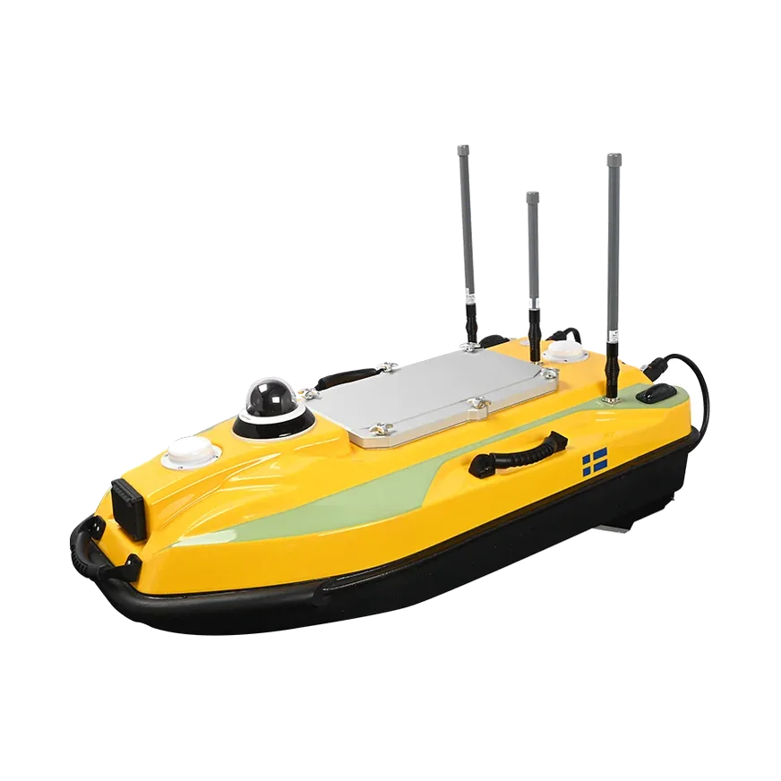 Unmanned survey boat