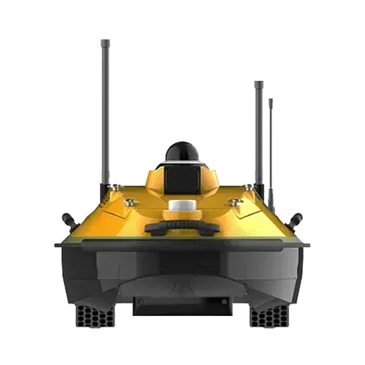
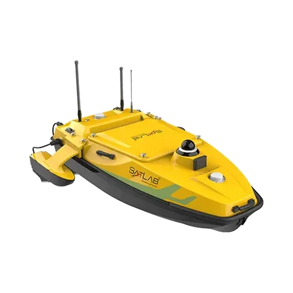
Overview
The HydroBoat 990 is the smallest boat in the range. It weighs 20 kg without battery, so two people can carry and launch it from a bank or a ghat. The single-beam echosounder, RTK GNSS and INS are built in, and the boat runs pre-planned survey lines on its own from the SLHydro USV app on an Android controller.
Key features
- Built-in 200 kHz single-beam echosounder, 0.15 to 200 m
- Dual-antenna RTK GNSS heading with INS backup when signals drop
- 360° camera and anti-collision sensor (10 to 30 m)
- Carbon fibre hull, IP67, rubber bumper
- 2.4 GHz radio up to 1.3 km, or unlimited range over 4G
- Two batteries, about 5 h each at 1.5 m/s
Technical specifications
Source: SatLab Geosolutions published specifications. Figures can change between product versions; we confirm them in every quotation.
Boat
| Hull (L × W × H) | 1035 × 560 × 345 mm |
|---|
| Weight | 20 kg without battery |
|---|
| Material | Carbon fibre, rubber bumper |
|---|
| Wind and wave | Wind level 3, wave level 2 |
|---|
| Waterproofing | IP67 |
|---|
| Propulsion | 2 × brushless propeller |
|---|
| Steering | Differential thrust (no rudder) |
|---|
| Maximum speed | 6 m/s |
|---|
| Battery endurance | 5 h per battery at 1.5 m/s, 2 batteries supplied |
|---|
| Camera | 360° omnidirectional video |
|---|
| Anti-collision sensor | 10 to 30 m detection |
|---|
Echosounder (built-in)
| Frequency | 200 kHz |
|---|
| Depth range | 0.15 to 200 m |
|---|
| Accuracy | ±0.01 m + 0.1% of depth |
|---|
| Beam angle | 5° ± 0.5° |
|---|
Positioning
| Constellations | GPS, BDS, GLONASS, Galileo |
|---|
| RTK accuracy | H ±8 mm + 1 ppm, V ±15 mm + 1 ppm (RMS) |
|---|
| Heading accuracy | 0.2° at 1 m baseline |
|---|
| INS | 2.1°/h, < 1 m drift in 20 s |
|---|
| Update rate | 200 Hz |
|---|
Control and software
| Controller | Android |
|---|
| Control range | 1.3 km on 2.4 GHz, unlimited on 4G |
|---|
| Field software | SLHydro USV: mission planning, vessel monitoring, coordinate conversion, data acquisition |
|---|
| Office software | SLHydro Sounder (Windows): processing, correction, export |
|---|
Source: manufacturer's published datasheet. Values are measured under the manufacturer's test conditions and may change without notice.

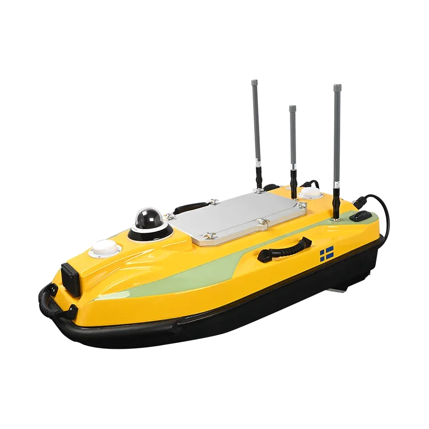
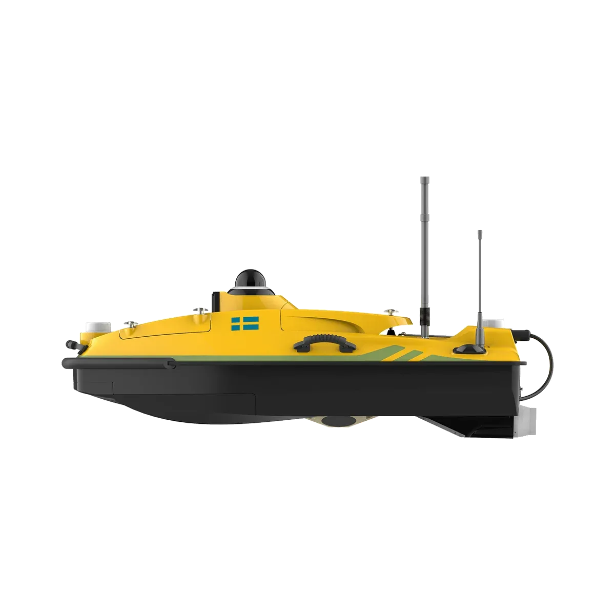 Unmanned survey boat